 vesseltracker.com
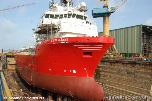
Vessel HAKAN ILHAN IMO: 9384461, MMSI: 271048517 Offshore Supply Ship
UTC, 36.28199, 33.83893, course: 240, speed: 0
UTC, 36.28199, 33.83894, course: 240, speed: 0
2026-01-29 21:39:55 UTC, 36.28199, 33.83891, course: 240, speed: 0
Live AIS position:
UTC. Near TASUCU),
updated 2026-01-29 21:39:55 UTC.
Find the position of the vessel HAKAN ILHAN on the map. The latter are known coordinates and path.
marine traffic ship tracker show on live map
The current position of vessel HAKAN ILHAN is 36.28199 lat / 33.83891 lng. Updated: 2026-01-29 21:39:55 UTCCurrently sailing under the flag of Turkey
HAKAN ILHAN built in 2007 year
Deadweight:
3527 tDetails:
Last coordinates of the vessel:
UTC, 36.28199, 33.83892, course: 240, speed: 0UTC, 36.28199, 33.83893, course: 240, speed: 0
UTC, 36.28199, 33.83894, course: 240, speed: 0
2026-01-29 21:39:55 UTC, 36.28199, 33.83891, course: 240, speed: 0